
Spring Township ZIP Code Coverage
Official Township and library facilities verify three local delivery anchors: 19608 with the Township Administration Building in Sinking Spring, 19609 with the West Lawn–Wyomissing Hills Library, and 19610 with the Spring Township Library in Wyomissing. These anchors establish that a physical Spring Township address can carry more than one postal locality. They do not establish that every address using one of those ZIP codes lies within the Township. A ZIP code directory needs a parcel-by-parcel municipal check, not a broad postal assumption.
| ZIP Code | Verified Township anchor | Postal locality | Municipal caution |
|---|---|---|---|
| 19608 | Township Administration Building, 2850 Windmill Road | Sinking Spring | Sinking Spring is also a separate borough. Confirm the parcel municipality. |
| 19609 | West Lawn–Wyomissing Hills Library, 101 Woodside Avenue | West Lawn | West Lawn is within today’s Township, but the ZIP is not a cadastral boundary. |
| 19610 | Spring Township Library, 78C Commerce Drive | Wyomissing | A Wyomissing mailing label can cross municipal lines. |
Official sources did not provide a complete postal polygon or a verified inventory of every residential delivery route, PO-box-only code, unique code, or additional ZIP serving Spring Township. The three entries above are confirmed local anchors, not a claim that they exhaust every possible delivery arrangement. Use the exact address in USPS and then the County record for any parcel-level conclusion.
Spring Township Postal Geography
Postal geography and local government jurisdiction serve different purposes. USPS assigns a delivery ZIP and city label. Berks County Assessment identifies the municipality, site location, parcel UPI, and related tax or deed data. An address that says Sinking Spring, West Lawn, or Wyomissing can still require a Spring Township municipal filter. Conversely, a familiar local ZIP does not alone place an address inside the Township.
The County’s 2025 parks plan supplies useful local context without redrawing ZIP boundaries. The north around West Lawn and West Wyomissing is more urban and mixed-use, the middle is suburban, and land south of Old Fritztown Road is more farm and woodland. A parcel in those areas may call for different record clues, such as a directory heading, a permit file, or a plan and legal description. The postal label remains only one address key.
Note: Preserve both the wording in an older source and the present site location, because silently replacing one postal label with another can break a historical search.
Check Spring Township ZIP Codes
USPS ZIP Code Lookup offers ZIP Code by Address, ZIP Code by City and State, and Cities by ZIP Code. The address route accepts a street address with city and state or a ZIP, while company and unit details are optional. The city-and-state route requires those two values. Cities by ZIP Code begins with the ZIP. USPS cautions that a result does not verify that a person or business is at the address.
The official USPS lookup is the delivery-verification source used before a County parcel search.
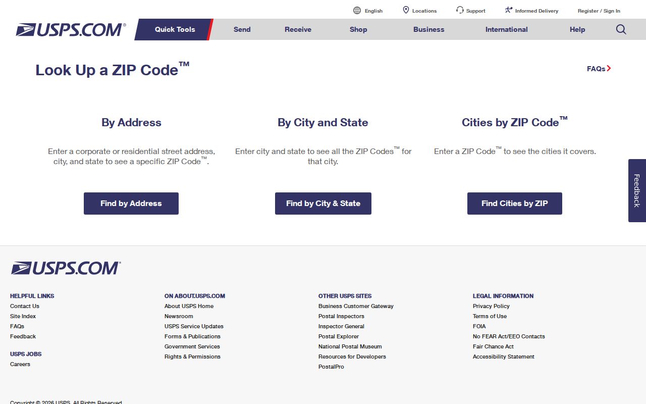
Use the USPS response to normalize delivery information, then use the County municipality and site-location fields to test whether the address is actually in Spring Township.
- ZIP Code
- A postal routing code that helps USPS direct mail, not a municipal boundary.
- ZIP+4
- An added four-digit delivery segment that narrows mail handling within a ZIP Code.
- PO-box ZIP
- A code used for post-office boxes; it does not by itself identify a physical parcel.
- Unique ZIP
- A code assigned for a particular organization or high-volume delivery use; none was verified here for the Township.
- Carrier route
- A delivery grouping used by mail carriers, which is not a government parcel or residency roll.
Spring Township ZIP Code Filters
Berks Property Records Search supports owner, street-address, and parcel-ID entry points, and the expanded property search documents a ZIP Code field. A ZIP search produces a geographic candidate set of parcels. It does not create a roster of people. Before interpreting any result, open each property card and verify its municipality, site location, UPI, and related deed reference. A modern mailing city is not a substitute for that comparison.
- Normalize the complete road name using the Township street map and retain the locality as it appears in the source.
- Check the delivery ZIP with USPS using the full address, including any unit information that distinguishes the address.
- Search the County property system by street, address, or ZIP, then confirm that the municipal result says Spring Township.
- Capture the UPI and site location, and use the legal description or Recorder record if the parcel needs a deeper ownership or history check.
Once a ZIP has narrowed the area, the address-by-address method belongs in the Spring Township street directory record trail. ZIP filtering is the screen, not the final identification step. If the online result is unavailable, Assessment handles property inquiries by counter or phone at 610-478-6262, and Mapping takes public inquiries by appointment or phone at 610-478-3360.
Spring Township ZIP Search Fields
The County form separates address components rather than requiring a single free-form line. It accepts a Parcel Number of up to 30 characters, including a 14 to 17 character UPI and partial values; Owner Name and Owner 2; Address Number; Direction; Street; and ZIP Code up to 12 characters. Direction choices include E, N, NE, NW, S, SE, SW, and W. Sort choices are Parcel, Owner, Owner2, Location, and Muni Description.
| Property search control | Best use in a ZIP workflow |
|---|---|
| Address Number and Street | Find the exact candidate parcel after USPS has normalized the address. |
| Direction | Distinguish roads with directional prefixes or suffixes. |
| ZIP Code | Screen a geographic set before parcel-by-parcel review. |
| Muni Description | Confirm Spring Township rather than a postal locality. |
| Parcel Number / UPI | Carry the selected parcel to GIS and Recorder records. |
The property card may show County, municipality, school district, site address and ZIP, mailing city, sales or deed references, and plan or lot details. Mailing addresses are maintained for tax correspondence and can differ from the situs. The County’s July 2026 mailing-address correction notice is a practical reminder that those fields are distinct and can change independently.
Spring Township Road Normalization
The official large Township street map provides the local road framework before a ZIP or parcel query. It includes Windmill, Van Reed, State Hill, Fritztown, Paper Mill, Cacoosing, West Wyomissing, Reading Boulevard, Old Lancaster Pike, Meridian, and Spring Ridge. Road designation, direction, locality, and ZIP can vary among a permit, directory, tax record, or deed. Save the literal form used by the record and compare it with the current site location instead of overwriting one with the other.
Historic record work may need a second locality term. A present parcel record can read Spring Township, while an older source can be cataloged under Reading/suburbs, Sinking Spring, Springmont, West Lawn, or Cumru. The current road name and ZIP are helpful search aids, but the UPI, plan or lot, and legal description provide the stronger continuity test.
Spring Township ZIP Code History
West Lawn’s local-government history is a frequent address-search trap. It was a borough until it merged into Spring Township in 2006 after a 2004 referendum. A historic directory, newspaper, map, permit, or deed marked West Lawn Borough can be correct even though a present property search needs Spring Township. Treat the old locality as a search term, then bridge it to the current parcel through the site location, UPI, plan, or legal description.
Spring Township itself was separated from Cumru Township by court action in 1850. For a pre-1850 tract, Cumru belongs in the research path. These jurisdiction changes explain why the same land can appear under different historical labels. They do not prove a ZIP realignment, and no such local ZIP split or complete postal boundary history was verified in the research.
Spring Township’s official history documents the Township and West Lawn boundary context.
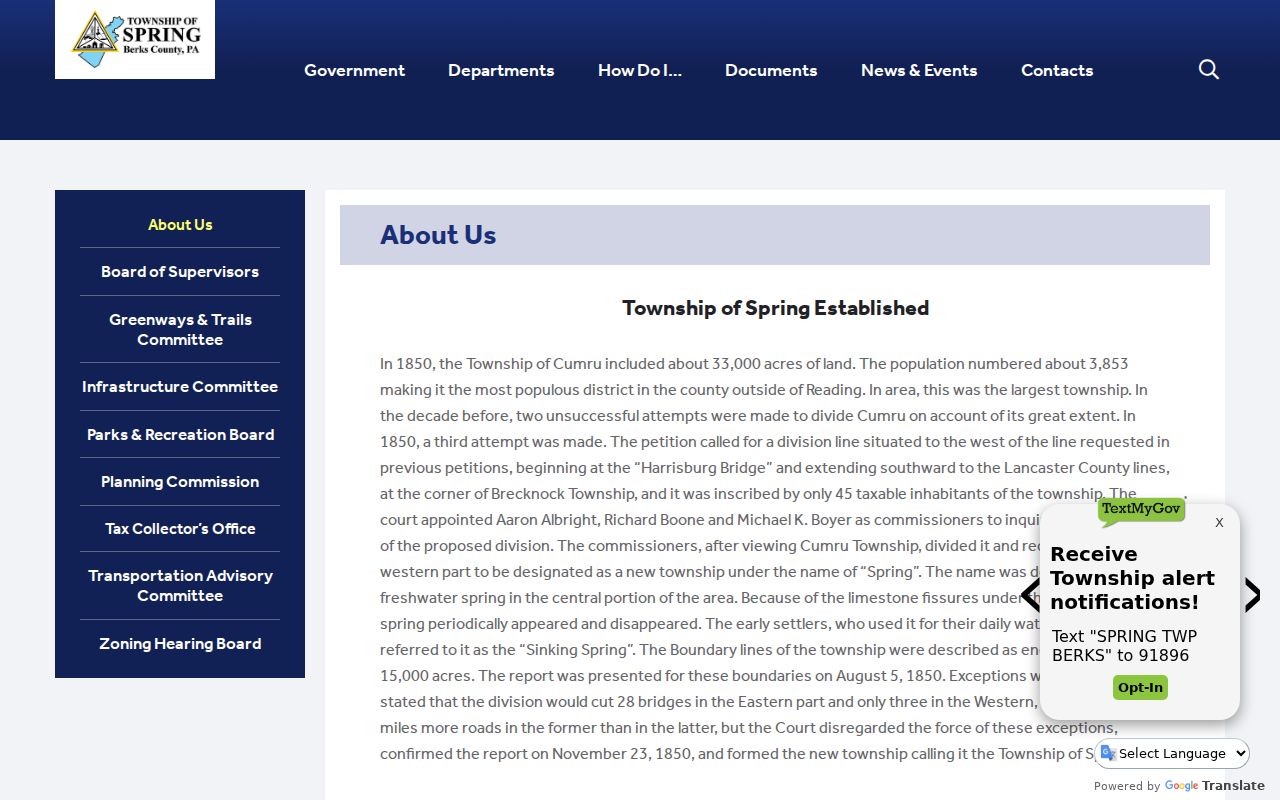
The Township history provides the municipal context that a postal lookup cannot supply on its own.
Spring Township ZIP Boundaries
A ZIP boundary and a Township border do not perform the same function. The postal system groups delivery addresses. Berks property records locate an assessed parcel in a municipality. When the two labels appear to disagree, do not force one record to match the other. Verify USPS delivery for the address, then check the County site location and Muni Description, and use GIS or the Recorder’s legal description if a boundary question remains.
The Mapping Office supplies tax maps and GIS applications for parcel boundaries, while hard-copy maps omit owner names. The Recorder’s Advanced Search adds municipality, property address, parcel ID, and legal-description paths. Those government-side records provide the correction layer after postal screening. The Recorder also offers online and counter copies, mail and telephone routes, plus original-book or microfilm access for older material. A ZIP result alone cannot verify an owner, an occupant, a taxing district, or a municipal boundary.
Note: The County property search is a current-record tool, so pair an older address question with the recorded document date and historical locality wording.
Spring Township ZIP Code Limits
A ZIP code directory can help organize an address search, but it cannot prove who is at an address. USPS verifies mail routing, not residency. An assessment record identifies current parcel and ownership fields, not every household member. Recorded deeds document a transaction, not a present-day address claim. Pennsylvania’s voter status route is for the registrant, while Berks Election Services handles specialized public-information requests. Neither is a public ZIP browse. Both follow controlled release and confidential-address protections. For a specific personal or family-history question, compare the source that owns each fact and avoid treating a postal label as identity evidence.
Address protection. Pennsylvania’s Address Confidentiality Program can provide a substitute mailing address for eligible participants. Do not use public records or postal searches to expose a protected location.