
Spring Township Neighbors: Block Records
Start with an exact Spring Township situs address, not just a Sinking Spring, West Lawn, or Wyomissing mailing label. The Berks Property Records Search offers owner, street-address, parcel-ID, and Map Search entry points. It provides the current assessment layer for one parcel at a time. The county Mapping Office supplies parcel and tax-map context, while the Recorder supplies recorded document history. Each source is useful for a different fact. A map proves geometry and adjacency, an assessment card can identify the assessed owner, and a deed can place a party in a recorded transaction. None is a complete list of every household member on the block.
| Source | What It Shows About a Block | Access |
|---|---|---|
| GIS and tax maps | Parcel layout, adjacency, map context, and parcel identifiers | County mapping applications; map first, then property query |
| Assessment parcel card | Current assessed owner, situs, mailing field, and property data | Public owner, address, parcel, and map searches |
| Recorder index | Recorded parties, dates, instruments, and legal description | Online search, copies, counter, mail, and phone channels |
| Election Services | Lawfully available specialized street or precinct list data | Request based; protected data remain excluded |
| Township public boards | Public civic contacts, meetings, and committee records | Township board pages and specific records requests |
| Historical collections | Dated address, telephone, newspaper, or map clues | Libraries, archives, and local-history repositories |
Keep owner, mailing address, and occupant separate. A tax-mailing field can belong to an owner, fiduciary, company, or other correspondence destination. It cannot prove that a person is on site. A dated directory or telephone entry is also only a dated clue. Compare at least two independent records before drawing a conclusion about the block.
Mapping Spring Township Neighbor Parcels
For the immediate block around one address, work parcel by parcel. The county’s official route begins in Map Search or a GIS application, then moves into the individual Property Records result. Capture the target parcel’s UPI, situs, and municipality. Use adjacent polygons only to identify the next parcels to check. The county’s hard-copy tax maps intentionally omit owner names because ownership changes too often. That design is a reminder to confirm each parcel in the assessment card rather than treating a map sheet as a current owner list.
- Locate the target address in the county’s property or map route and confirm that the municipal result says Spring Township.
- Record the target UPI, site location, and visible adjoining parcel boundaries, then capture the adjoining UPIs or situs addresses.
- Open every adjoining parcel separately in Property Records and note the current assessed owner, mailing field, deed reference, and source date.
- Use Recorder Advanced Search to test a recorded party or legal description when the block question concerns a title or plan history.
- Stop at the documented block boundary. For a complete named-street record chain, use the Spring Township street directory.
This flow creates a property-owner map, not a roster. A new subdivision, correction, or parcel change can alter the geometry, and the county notes that map acreage and deed acreage may differ. Save the UPI and date with a screenshot or record note so the result can be checked again later.
Spring Township Neighbors: Map Controls
Berks Map Search has a documented buffer method for close parcels. After selecting or browsing a target, choose a small sensible distance, pick a unit and buffer mode, and use Select By Buffer. The captured controls include Parcel, Center Points, and Polygons modes, along with a current-list view and print or export settings. Those tools help identify nearby parcel geometry. They do not create a public household layer. The county mapping page routes the public to GIS applications and the Data Hub, while the public landing page does not support claims about every live map layer.
| Official record route | What it provides | Why it is stronger |
|---|---|---|
| Map and assessment sequence | Current parcel geometry followed by an individual assessed-owner record | It preserves the parcel ID and a date for each result. |
| Recorder document search | Recorded party and title-document context | It can be matched by parcel, legal description, or instrument details. |
| Paid compiled neighbor tools | A changing collection of claims from mixed sources | They can be stale, incomplete, or combine people with similar names, so they do not replace a custodian’s record. |
The county says it has 1,409 standard tax maps and that updates continue as subdivisions and corrections occur. A clear boundary line is valuable, but it is only the first step. Use the current parcel result to identify the records worth verifying.
Note: A hard-copy tax map omits owner names by design, so use it to find a parcel, not to label Spring Township neighbors.
Spring Township Neighbors and Civic Boards
Spring Township publishes civic participation information, not a private neighborhood-membership directory. Its public board and committee layer includes the Board of Supervisors, Planning Commission, Parks and Recreation Board, Zoning Hearing Board, and Infrastructure, Greenways, and Transportation committees. These pages can help a reader find public meeting contacts and records related to a project, park, or local decision. They do not identify which residents belong to a subdivision, congregation, block watch, or association. No official Township HOA or neighborhood-member directory was located, and it would be wrong to imply one exists.
The Spring Township public boards page shows the civic layer available for this block-oriented research.
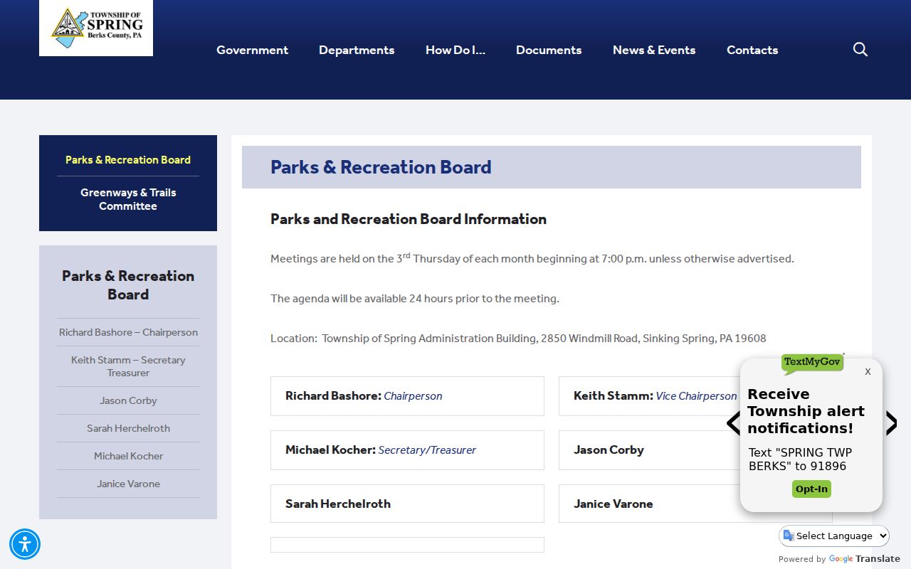
Public board contacts and meeting records can provide civic context, but they are not a directory of Spring Township neighbors.
Board of Supervisors
Public Township leadership and meeting material, useful for a known public matter.
Planning Commission
Public planning and land-development context for a parcel or project.
Parks and Recreation Board
Public recreation-board contacts and meetings, not private membership records.
Zoning Hearing Board
Public zoning-hearing information for a known address or application.
Spring Township Neighbors: Voter Requests
Pennsylvania’s online voter-status service is for a person checking that person’s own record. It is not a tool for browsing neighbors by address. The lawful block-level alternative is a defined request to Berks Election Services for a specialized voter listing, street listing, label set, or database when the permitted purpose and current field rules support it. The statewide request form offers public-information, street, walking, and full-export categories, but the requested geography, format, date range, and lawful use matter. Ask the office which fields are currently available and redacted before making a request.
The official Berks Election Services page is the county route for those specialized public-information requests.
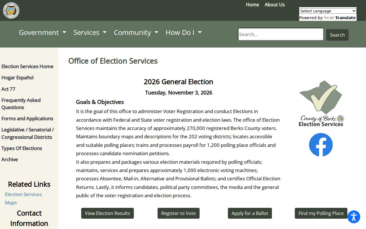
Election Services handles county list requests; the ordinary voter-status path remains a self-service check for the registrant.
Pennsylvania statutes allow supervised inspection of specified registration records and govern public-information lists, but they also restrict use. Confidential participants and protected addresses do not become public block data. An inactive record or a nonmatch does not prove that a person never lived near the address, and voting history does not reveal how someone voted.
Spring Township Neighbors: Deed Context
Recorded documents add the history behind a parcel, not a current-neighbor conclusion. In Berks Recorder Advanced Search, a known parcel can be checked with the Property Address, Municipality, Parcel ID, party, date, document-number, book or page, and legal-description routes. Match a document to the parcel with more than a street label. A street name can recur in other municipalities, older instruments may lack a modern address, and parcel numbers can change after subdivision or combination. The legal description, plan or lot, UPI, and recorded parties give the safer connection.
Township permit and transfer files can add a project date or address-specific construction context. The Township did not publish a searchable permit result database. For a known address, use the Township Right-to-Know request route by email, mail, fax, or in person, describing an existing permit, code, inspection, zoning, or meeting record with a date range. Applications themselves are not accepted by email. A permit can identify an owner, applicant, or project, but it does not prove who lives at the address.
Spring Township Neighbors: Safety Sources
Public-safety databases have narrow purposes and should not be treated as discovery tools for a block. Pennsylvania’s public registry is governed by its own notices and restrictions. It is not a general neighbor directory, and its information is not permission to threaten, track, discriminate against, or harass anyone. For a concern that falls within the registry’s stated scope, use the official source and read its advisory before searching.
The Pennsylvania State Police public registry is shown here as a restricted public-safety source, not as a way to assemble a list of neighbors.
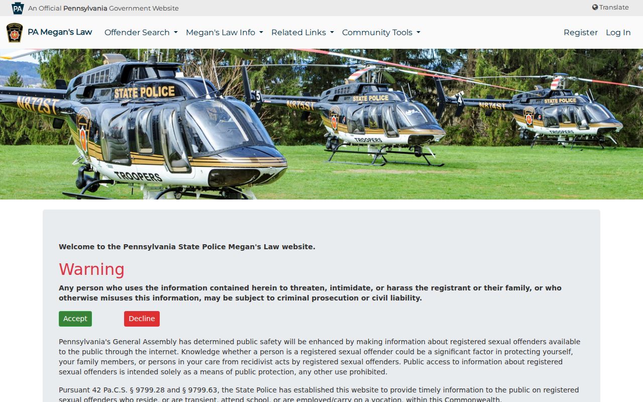
The registry’s search interface carries official warnings and does not replace careful, lawful contact with local authorities when safety is at issue.
The federal custody locator has an equally narrow boundary. It covers federal inmates from 1982 to the present and offers number and name routes, with a result row that can show a name, register number, age, race, sex, release date, and location. It does not cover every correctional system, and a release date can change. It cannot confirm where a Spring Township neighbor lives.
The Federal Bureau of Prisons Inmate Locator illustrates that separate federal-custody scope.
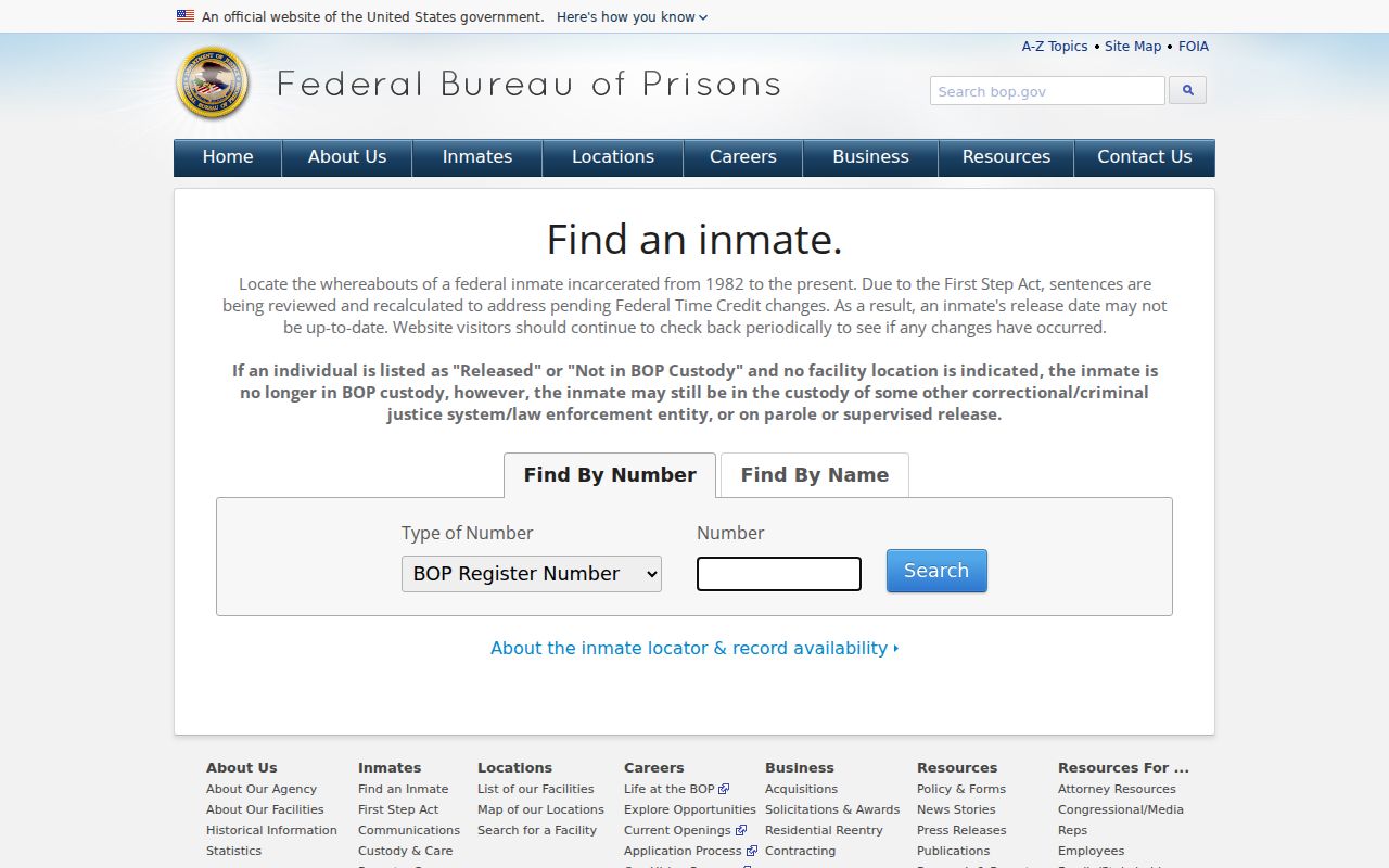
A federal custody result is neither an address record nor a complete local or state custody history.
Spring Township Neighbor Privacy Limits
The block-record process stops where privacy and evidence limits begin. Utility accounts, delivery information, library patron records, congregation rosters, private association membership, and confidential-program addresses are not public neighbor sources. The Pennsylvania Address Confidentiality Program provides eligible participants a substitute mailing address for public-record uses, including voter registration. Do not try to reconstruct an actual address from an older deed, court record, voter list, map, or directory. The Right-to-Know Law also has personal-information exemptions, and a redaction is not an invitation to seek the same material elsewhere.
Lawful use. Use Spring Township neighbor records only for lawful personal, family-history, civic, property, or safety research. Never use a record to stalk, harass, intimidate, harm, or expose protected people.